There is a webinar series coming in May addressing active management of riparian zones in forests. Riparian ecosystems are becoming a huge issue in the central coast area as the coho restoration program gathers steam. This series of lectures will explore the ecology of riparian zones, current tools for planning and executing riparian management, then […]
Erosion Control
The Santa Cruz Mountains are composed primarily of various sandstones and shales. They are very steep, geologically active with several earthquake faults running through them, and subject to periods of very heavy rainfall in the winter months.
This all adds up to a recipe for erosion, and when the soils get saturated, they will move, regardless of the use to which the land is put.
The largest open question regarding erosion is which portion is natural and which portion is caused by human activities. Our current land use methodologies employ permanent structures: buildings, roads, bridges, dams, pipelines and so forth. These permanent structures reside in an uneasy state with our moving landscape.
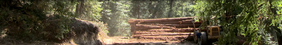
Much of our erosion control measures are designed to keep our permanent structures, such as our access roads, skid trails and landings, from collapsing and dumping themselves into our watercourses while still channeling the water on its way.
The Forest Practice Act regulations have specific and very effective guidelines for managing erosion hazards post-harvest. Simple due-diligence work by landowners, such as walking your roads in an active rainstorm to inspect and correct drainage patterns can keep small problems from developing into big ones between harvests.
In this page, we will add articles addressing how to determine where erosion control measures are needed and explore various techniques for managing erosion.